
From orbit, Italy looks like a boot mid-kick. The snow-capped Alps gleam across the top of the frame, the flat green of the Po Valley spreads beneath them, and along the Adriatic coast the sea turns milky with sediment. It is a beautiful image, and it is also a calibration target: Europe's newest Earth-watching satellite took this picture just two weeks after leaving the ground, and the space agency behind it is already talking about decades of data to come.
The European Space Agency (ESA) announced the first images from the Copernicus Sentinel-3C satellite on October 8, 2026, roughly two weeks after the spacecraft launched on September 15 aboard a Vega-C rocket from Europe's Spaceport in Kourou, French Guiana. The early views show Italy, the Canadian Arctic, and the Caribbean in natural color, alongside the first radar measurements of the Greenland ice sheet's height and the height of the sea surface. For a satellite that is still months away from entering service, it is a strong opening act.
Sentinel-3C is built to be boring on purpose: the same instruments, the same orbit, the same measurements, year after year, so that a wobble in the data means the planet moved, not the satellite.
Three postcards from a new eye in orbit
The images come from the Ocean and Land Colour Instrument, or OLCI, a five-camera array that observes Earth in 21 spectral bands at a native resolution of about 300 meters. One early view stretches from southern Germany in the north to Sicily and the southern Mediterranean in the south. The Po Valley is clearly visible as a flat agricultural plain, the snow-topped Alps contrast sharply with the surrounding lowlands, and the islands of Sardinia, Sicily, and Corsica sit in seas whose color shifts with sediment and depth.
A second image looks down on part of the Canadian Arctic Archipelago, west of Greenland, captured near the year's seasonal sea-ice minimum, when the shrinking of polar ice is at its most visible. A third shows the Caribbean, with Cuba to the south and the Bahamas near the top of the frame; shallow turquoise waters around the islands contrast with the deeper blue offshore, a color difference that maps directly onto water depth and coastal features. The images were captured on September 29 and 30, the satellite's first real look at the planet it was built to watch.
A radar that weighs the ice and the sea
Enjoying this story?
Get the five most important stories in tech, every morning. Free.
Pretty pictures are only the start. Sentinel-3C also carries a synthetic aperture radar altimeter, and its first measurements are already mapping the height of the Greenland ice sheet and the surface of the ocean. Early sea-level readings correlate closely with existing measurements from the Copernicus Marine Service, the agency said, which is exactly what engineers want to see: a new instrument agreeing with the old ones before it takes over their job.
Altimetry data like this is the quiet backbone of climate science. Repeated measurements of ocean height reveal sea-level rise in millimeters per year; repeated passes over Greenland track the ice sheet's thinning with enough precision to show where the melt is accelerating. Because the instrument works by bouncing radar pulses off the surface and timing their return, it sees through clouds and darkness, delivering data over the poles in the depths of winter when optical cameras are blind.
The workhorse mission keeps its streak going
Sentinel-3C: First-Light Facts
Key numbers behind Europe's newest Earth observation satellite.
Note: For illustrative purposes only.
Sentinel-3C is the third satellite in the Sentinel-3 series, and the mission is deliberately unglamorous. ESA calls the Sentinel-3 satellites the workhorse of Copernicus, Europe's Earth observation program, and every spacecraft in the series carries the same suite of instruments. Over oceans, they measure the temperature, color, and height of the sea surface plus the thickness of sea ice, supporting the monitoring of marine pollution and marine heatwaves. Over land, they watch drought and wildfires, map land use, check vegetation health, and measure the heights of rivers, lakes, and polar ice sheets.
Sameness is the point. Climate records are only useful if a measurement taken in 2036 can be compared directly with one taken in 2016, which means the successor satellite must replicate its predecessor, not reinvent it. Sentinel-3C will continue the series' long-term task of delivering environmental data for a wide range of applications, picking up the thread as its older siblings age. ESA is still commissioning the spacecraft for service, an intricate process of calibration and testing that will take another five months, but the agency said the first two weeks already show the satellite performing well.
Why a photo of Italy is climate infrastructure
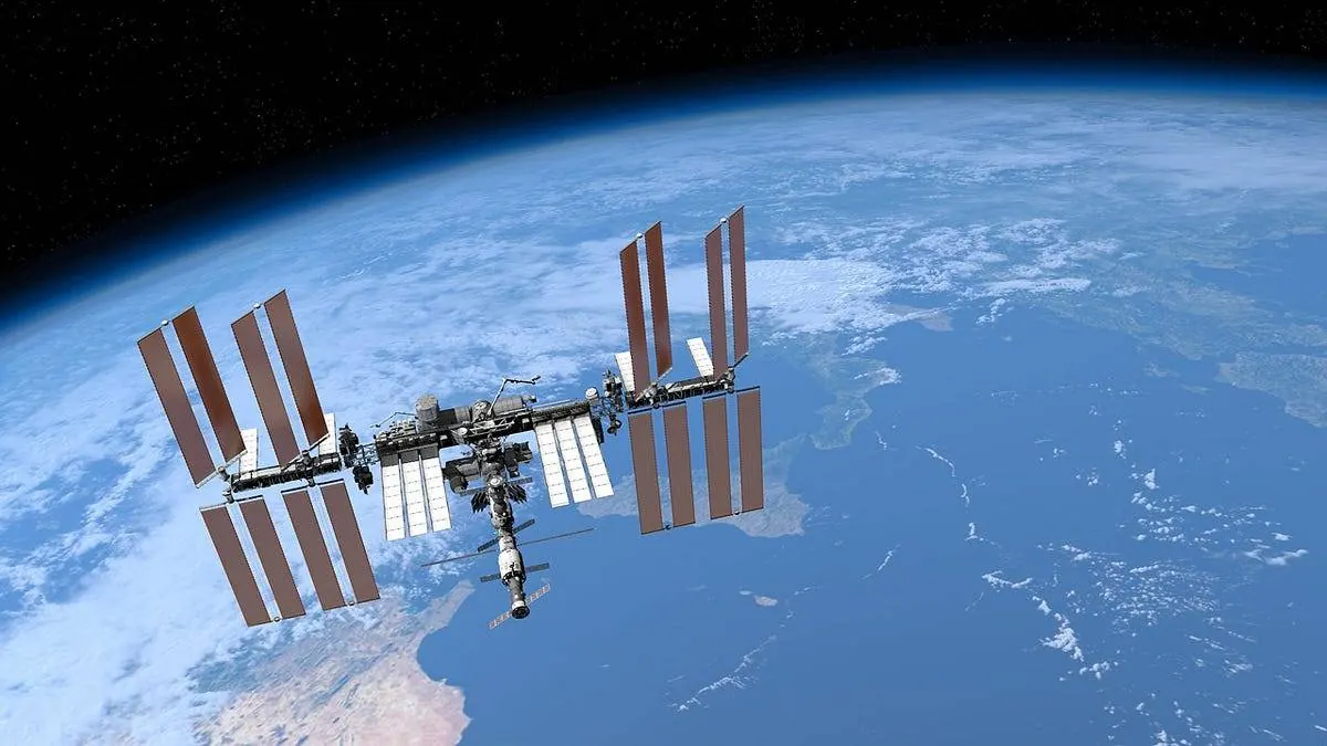
It is easy to file this under space agency publicity, but the economics run the other way. The Sentinel data feeds near-real-time parameters into weather forecasting and long-term records of how the climate is changing, the kind of infrastructure that pays for itself in better forecasts, earlier drought warnings, and wildfire maps that tell firefighters where the fuel is driest. Marine heatwave monitoring, a task Sentinel-3 handles routinely, has become central to understanding the ocean events that bleach coral reefs and disrupt fisheries.
There is also a perspective shift worth noting. Much of the space industry's attention is on the crowded orbits these satellites share (the debris problem is now measured in the tens of thousands of tracked objects, as the orbital debris count shows). Sentinel-3C is the other half of the story: orbit as a vantage point for managing the planet below. While megaconstellations multiply, a handful of European weather and climate satellites quietly keep the data flowing that insurers, farmers, and emergency managers actually price their decisions on.
Five months from now, when commissioning is complete, Sentinel-3C will join the operational fleet and its images will stop being news. That is the goal. The most successful Earth observation satellites are the ones nobody thinks about, the ones whose data shows up inside a forecast model or a drought map without anyone asking where it came from. For now, though, the first postcards are worth a look: a boot, an archipelago, and a scatter of islands, all measured, band by band, from a machine that just started its job.
0 Comments